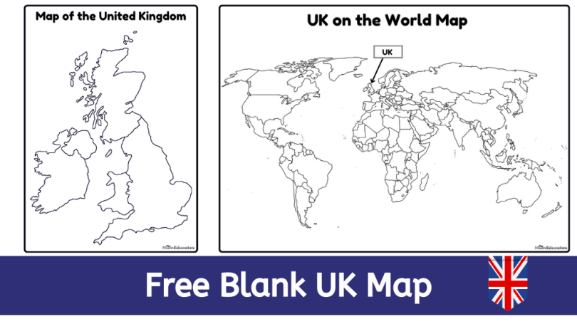
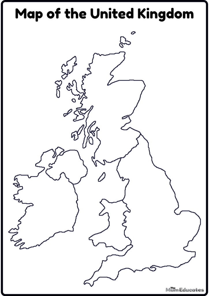
Are you planning a geography lesson for your students on the United Kingdom? Explore the wonders of the United Kingdom with this amazing Blank UK Map Printable which is just perfect for the geography lesson. This black and white map will be perfect for labeling the main cities and starting the topic about the heritage and rich tapestry of the UK.
Start the topic of the United Kingdom and its main cities by introducing your students to this map. Let them fill in as many towns, cities, and landmarks as they can, turning the learning process into an exciting exploration. Challenge your students to embark on a research adventure using our downloadable and printable “Blank UK Map.”
Blank UK Map Printable
Our wonderful UK country map is simply perfect for learning and diving into the dense English heritage. Let your students embark on the captivating journey through the heart of United kingdom by using our blank UK country map.
Join the adventure of exploring UK with this hand resource. To download the resource simply click on the image below and download the handy PDF file.
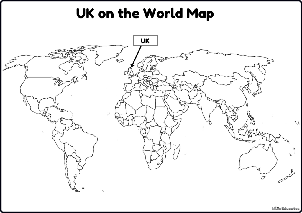
Where is the united kingdom located on a map?
United kingdom is located in the in the European continent. The United Kingdom shares its only land border with Ireland to the west. It is surrounded by the North Sea to the east, the English Channel to the south, and the Atlantic Ocean and the Irish Sea to the west.
The approximate coordinates of the United Kingdom are 54.9783° N latitude and 1.6174° W longitude.
We have created a wonderful worksheet which shows UK in the map. Download the PDF file and share it with children while learning more about the world.
Why learning UK country map is so important for my child?
Not only does it helps children having a strong educational foundation, it also helps children to understand and read the maps which is no doubt a super handy real life skill. As children grow and learn about different countries, they get to know more amazing facts about the countries like plants, food, traditions, and much more.

